
Microsoft Flight Simulator 2024 | Ranger Creek Airport
Buy Now
Microsoft Flight Simulator 2024 Taburet Ranger Creek Airport can be purchased directly from the vendor by clicking the button below.

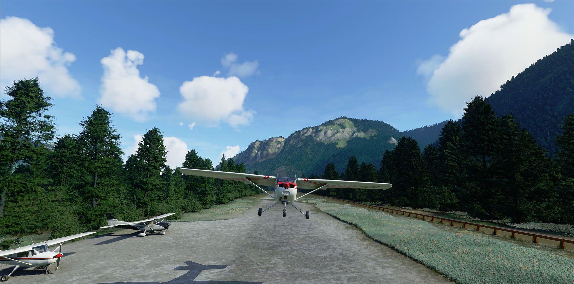
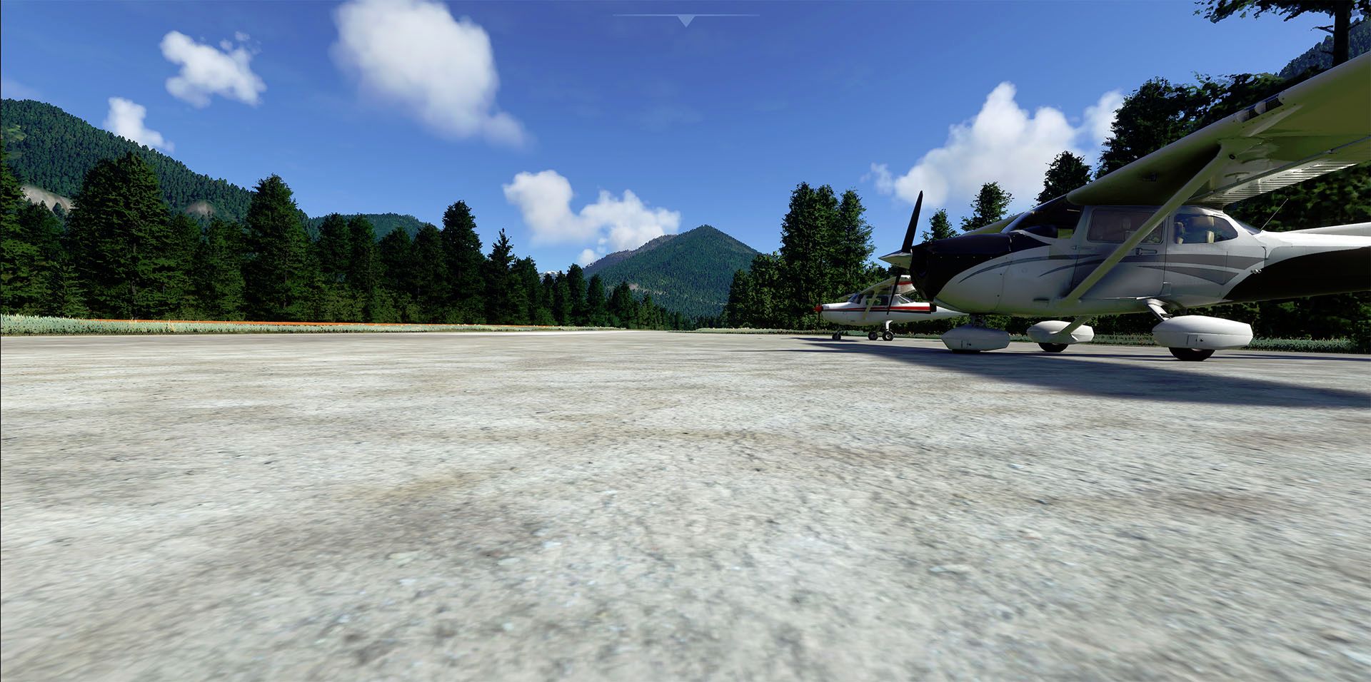
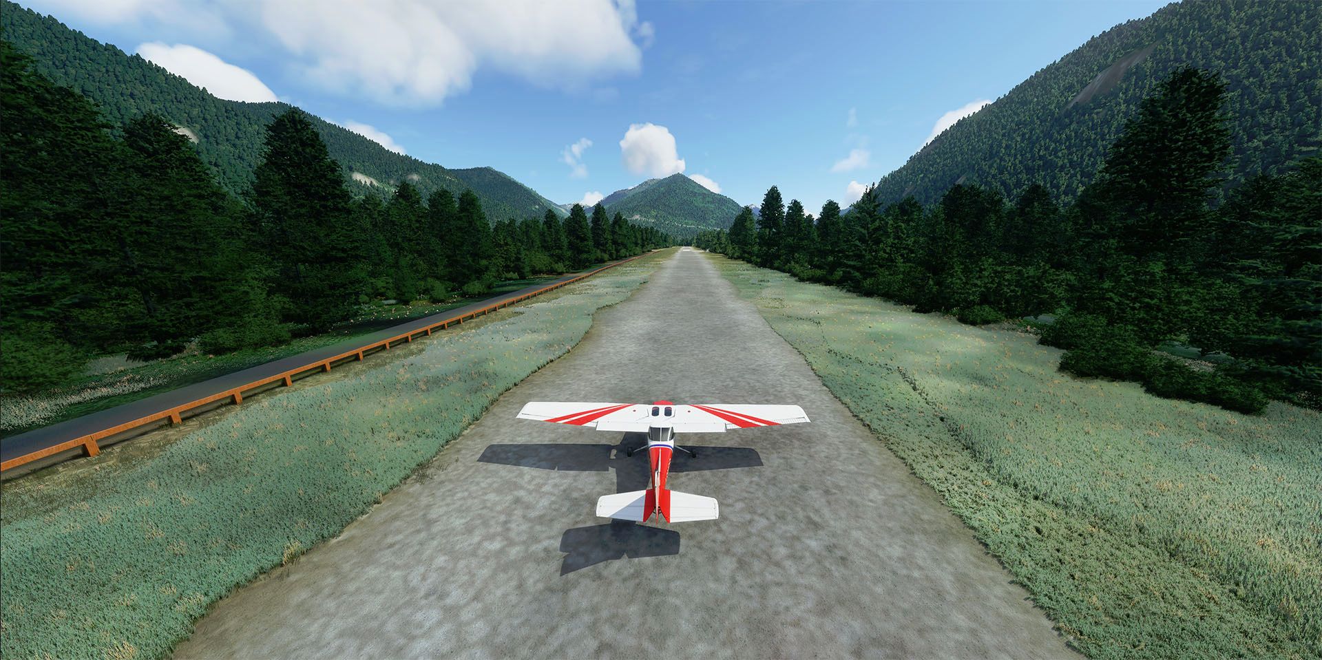
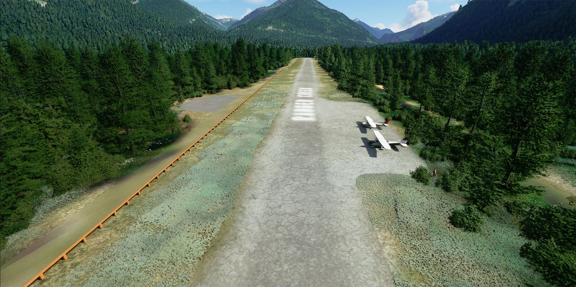
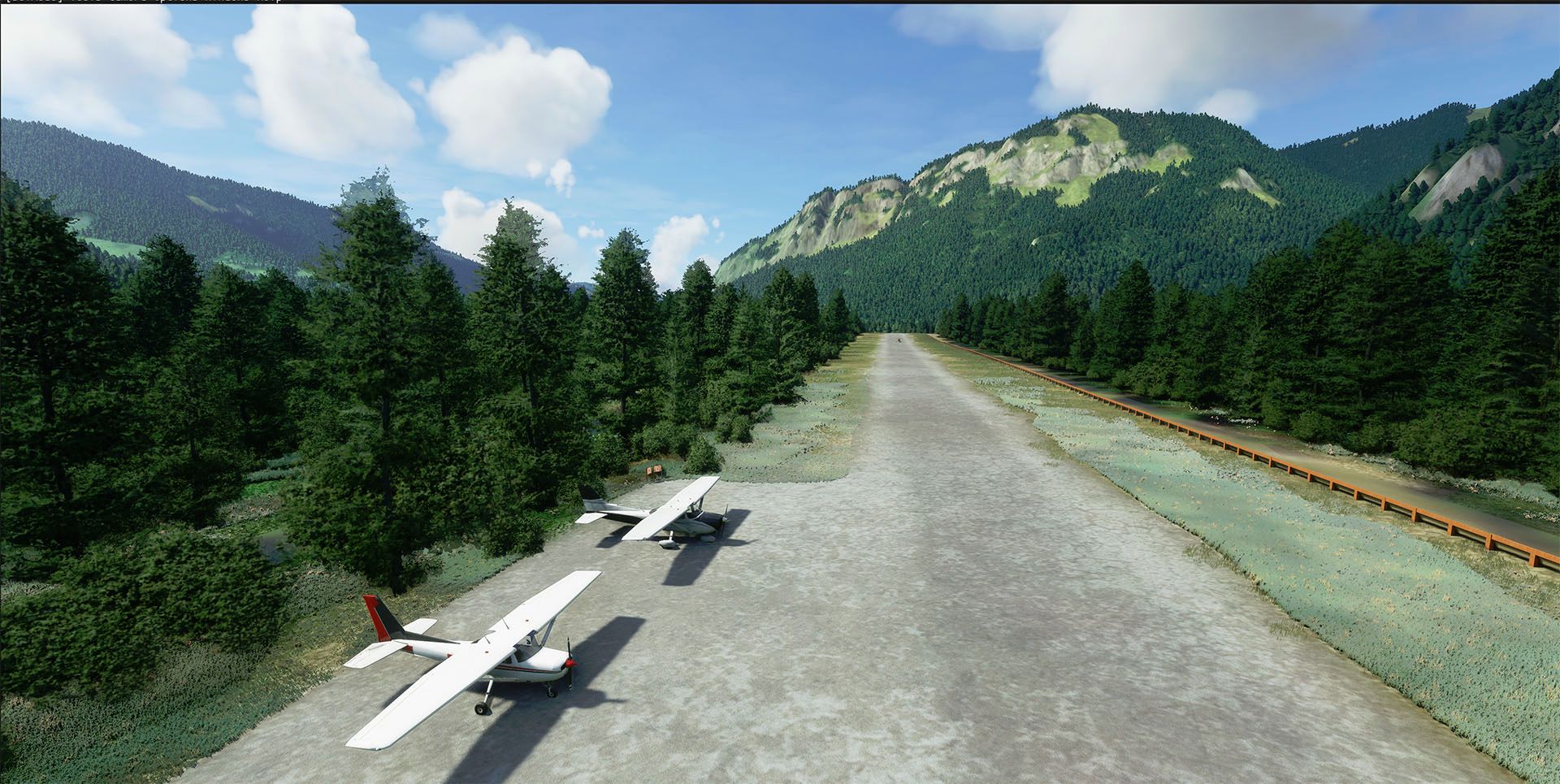
Complete rebuild for the airport of Ranger Creek located in the washington state - United States.
The scenery feature adjusted vegetation; and a completely rebuild new runway using realistic surface textures.
Custom objects are included to increase atmosphere along with stretched grasses view from runway to increase
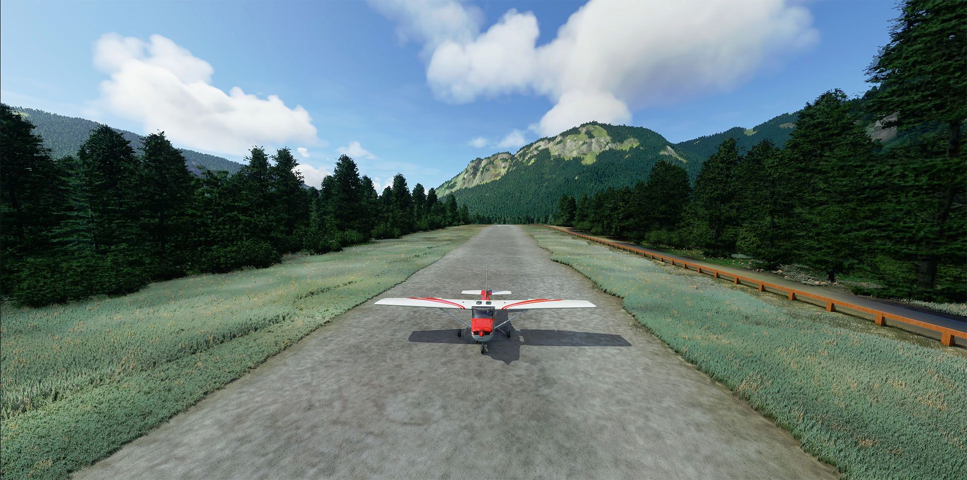
immersion. Is a scenery that will challange your pilot skills especially in windy and rough conditions. The 2,875 foot asphalt runway makes the airport very popular. The 2650 foot field elevation combined with the surrounding terrain make summertime density altitude problems common. The gorgeous ridges and cliffs that provide such a spectacular view make Ranger Creek a good test of a pilot's mountain flying skills. It is not a place for the novice.
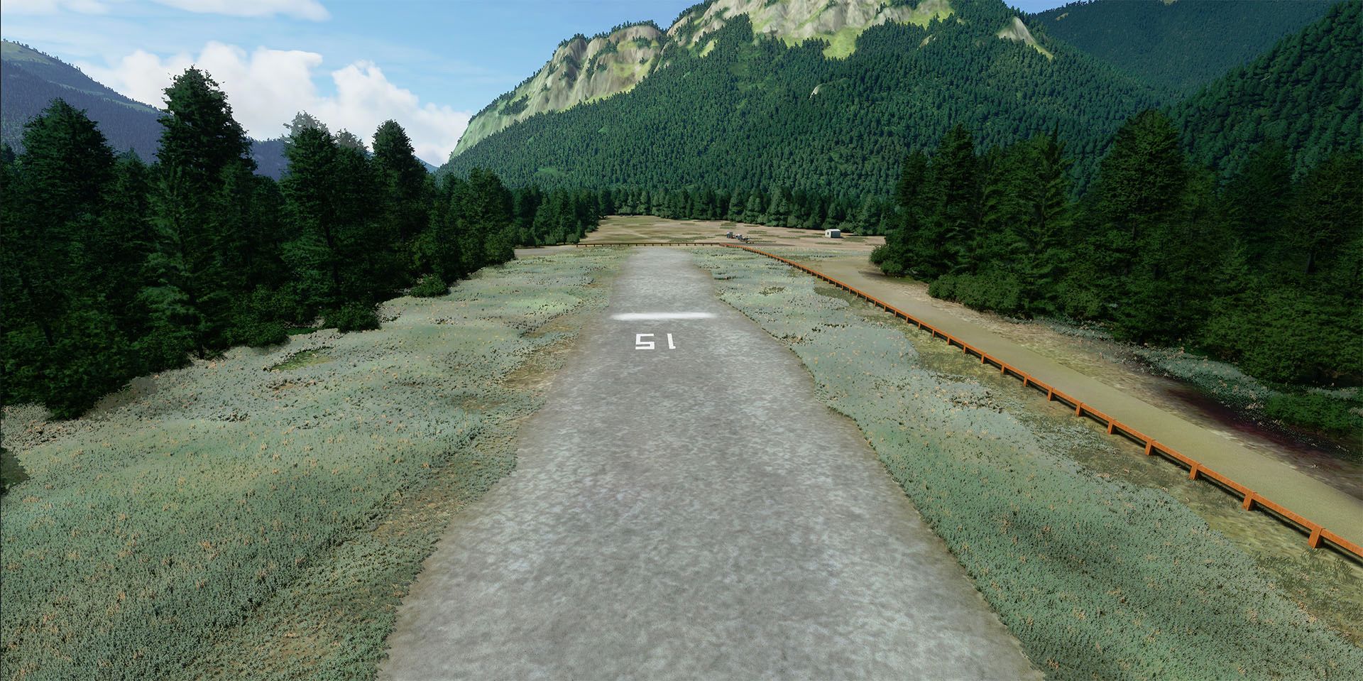
The valley is relatively narrow and narrows significantly both to the north and south. Just north of the airfield the valley
temporarily widens to the west, providing sufficient room for a gentle climbing turn. The camping areas are busy in the summer, and during the hunting seasons. Although heavily signed, the runway does get encroached on by pedestrians. Animals are common on the runway in the early morning and late evening. There are trees in both approaches. Turbulence and downdrafts are common over the river in the approach to runway 33. Overflight to check runway conditions, look for obstructions, and to make people on the ground aware of your presence is essential. Ranger Creek is generally open from June 1 to October 1.
Ranger Creek Airport Map
Ranger Creek Group Campground is located just off the Bighorn Scenic Byway (U.S. Highway 14) at an elevation of 7,500 feet.....
Located on the northeast slope of Mount Rainier, at 2650 feet Ranger Creek is the highest elevation paved runway in the state.....